Can I Rely on GPS or Online Resources to Navigate Kilimanjaro's Routes?
Introduction: The Digital Age of Trekking
In today’s digital world, the availability of GPS devices and online navigation tools has revolutionized how we explore the outdoors. From trail maps on mobile apps to satellite-based GPS coordinates, many adventurers rely heavily on technology to guide them through mountains, forests, and deserts. But does that mean you can rely solely on these tools when tackling Africa’s tallest peak—Mount Kilimanjaro?
While it’s tempting to believe that modern gadgets can replace the need for a local guide, Kilimanjaro is not just any mountain. With its diverse terrain, rapidly changing weather, and high-altitude challenges, the mountain requires far more than a screen and a signal. In this article, we’ll explore whether GPS and online resources are reliable enough to safely and legally navigate Kilimanjaro’s routes, and why professional guides remain essential to your success.
How GPS Works on Kilimanjaro’s Terrain
GPS technology uses satellites to triangulate your location and provide real-time navigation. On Kilimanjaro, GPS can be somewhat reliable on lower elevations and clear terrain, particularly on open paths like those found on the Machame Route or Lemosho Route. Many apps—like Gaia GPS, AllTrails, or ViewRanger—can be used offline with pre-downloaded maps.
However, reception may falter in forested or rocky areas, and GPS accuracy can drop significantly in cloud cover or poor visibility—both of which are common at higher altitudes on Kilimanjaro. Even with a strong signal, GPS only shows your location—it doesn’t tell you whether the trail ahead is safe, how you’re acclimatizing, or when to turn back due to altitude sickness.
The Role of Online Maps and Apps on the Mountain
Many hikers download digital trail maps or use online forums like Reddit or AllTrails to gather information about Kilimanjaro. These tools can provide useful data, including:
- Topographic maps of each route
- User-generated trail reviews and tips
- Camp locations and elevation profiles
However, while online tools can help with planning, they are not a substitute for real-time expertise. Online resources rarely update in real-time, and most lack the local insights or emergency preparedness that only trained guides offer. A weather change, trail closure, or altitude-related emergency can quickly render your offline plan useless.
Limitations of Technology in High-Altitude Environments
At high altitudes, technology becomes increasingly unreliable. Here’s why:
- Battery Drain: Cold temperatures deplete phone and GPS device batteries much faster than normal.
- No Signal: Cellular networks are patchy to nonexistent above 3,000 meters.
- Glitch Risk: Software crashes, incorrect waypoints, or outdated maps can lead you astray.
- False Security: A GPS may make you feel safe, even if you’re heading into a dangerous zone.
In emergencies, you can’t rely on a GPS alone. That’s why climbing with a qualified guide—who knows the terrain, weather patterns, and safety procedures—is not just smart, it’s life-saving.
Legal and Ethical Reasons You Still Need a Guide
Even if GPS worked flawlessly, it wouldn’t change one fact: Tanzania’s law requires all Kilimanjaro climbers to be accompanied by a licensed guide. Going solo, even with technology, is illegal and can result in denied park entry, fines, or deportation.
Additionally, ethical climbing supports the local economy. Hiring a guide from companies like Eco-Africa Climbing ensures fair wages, proper equipment, and safe working conditions for porters and mountain crews. Plus, these guides are trained in high-altitude safety, first aid, and navigation—offering far more than a GPS ever could.
Comparing Digital Tools vs. Human Guides
While GPS devices and online resources offer valuable information for climbers, they cannot replace the expertise and adaptability of human guides. Digital tools provide static data, such as preloaded maps and waypoints, which may not account for real-time changes in trail conditions or weather. In contrast, experienced guides possess intimate knowledge of the mountain, allowing them to make informed decisions and adjust plans as needed to ensure safety and success.
Moreover, guides are trained to recognize signs of altitude sickness and other health issues, providing immediate assistance and making critical decisions about whether to continue or descend. They also handle logistics, such as setting up camps and coordinating with porters, allowing climbers to focus on the trek itself. While technology can enhance the climbing experience, it should be viewed as a supplement to, not a replacement for, professional guidance.
Benefits of Combining GPS with Guided Support
Integrating GPS technology with the support of a licensed guide offers the best of both worlds. Climbers can use GPS devices to track their progress, monitor elevation gain, and record their journey for personal records. Meanwhile, guides provide real-time decision-making, safety oversight, and local insights that technology alone cannot offer.
This combination ensures that climbers are well-informed and prepared, while also benefiting from the experience and judgment of seasoned professionals. It enhances the overall trekking experience, providing both the reassurance of technological support and the irreplaceable value of human expertise.
Eco-Africa Climbing’s Approach to Safety and Technology
At Eco-Africa Climbing, we prioritize the safety and satisfaction of our clients by combining modern technology with traditional guiding practices. Our guides are equipped with enough knowledge about the all Kilimanjaro routes and ensure accurate navigation. Additionally, we utilize communication tool like Radio Call to stay connected with our base and emergency services if needed.
Our commitment to safety extends beyond technology. We provide comprehensive training for our guides in first aid and high-altitude trekking, ensuring they are prepared to handle any situation. By blending technological tools with human expertise, we offer a climbing experience that is both secure and enriching.
Limitations of GPS and Online Resources
While GPS devices and online maps can be valuable tools for tracking progress and planning, they have significant limitations when it comes to navigating Mount Kilimanjaro:
- Signal Reliability: GPS signals can be unreliable in dense forests and deep valleys. Additionally, cellular service on Kilimanjaro is limited and inconsistent, making it difficult to rely on online resources for real-time navigation.
- Battery Life: Cold temperatures at high altitudes can rapidly drain battery life, leaving climbers without access to digital navigation tools when they may need them most.
- Lack of Real-Time Updates: Online maps and GPS devices do not provide real-time information about trail conditions, weather changes, or potential hazards, which are critical for safety on the mountain.
These limitations underscore the importance of not relying solely on technology for navigation during a Kilimanjaro climb.
The Importance of Professional Guides
Professional guides play a crucial role in ensuring the safety and success of climbers on Mount Kilimanjaro. Their expertise includes:
- Route Navigation: Guides are familiar with the various routes and can make real-time decisions based on trail conditions and weather patterns.
- Health Monitoring: They are trained to recognize symptoms of altitude sickness and can take appropriate action to assist climbers.
- Emergency Response: In case of emergencies, guides can coordinate rescue operations and provide first aid.
- Local Knowledge: Guides offer insights into the mountain’s ecology, geology, and cultural significance, enriching the climbing experience.
Engaging a reputable guide service, such as Eco-Africa Climbing, ensures that climbers have the support and expertise necessary for a safe and memorable ascent.
Conclusion: Technology Enhances—But Does Not Replace—Expert Guidance
GPS and online tools can be incredibly useful for tracking your progress and learning about Kilimanjaro’s routes, but they are not substitutes for the real-world experience and expertise of a professional guide. Relying solely on apps and gadgets can lead to safety risks, legal issues, and missed opportunities for cultural and environmental learning.
By combining technology with the support of a licensed, locally based company like Eco-Africa Climbing, you ensure a smooth, safe, and enriching experience. Don’t let false confidence in your device cost you your summit—or your safety. Choose human insight, trained leadership, and community support for your climb.
Frequently Asked Questions (FAQs)
Is GPS allowed on Kilimanjaro?
Yes, you can use GPS devices and apps during your climb. However, they are not a substitute for a licensed guide, which is mandatory by Tanzanian law.
Can I use Google Maps to hike Kilimanjaro?
Google Maps is not detailed or accurate enough for high-altitude navigation. Specialized GPS hiking apps like Gaia GPS or ViewRanger are better options but still not sufficient alone.
What happens if I get lost using only GPS?
Without a guide, getting lost can be dangerous. There may be no cellular signal for help. Always climb with a registered tour operator like Eco-Africa Climbing to avoid such risks.
Are GPS devices helpful for tracking my route?
Yes, they’re great for recording your progress, distance, and elevation. But for safety, health, and decision-making, trained guides are essential.
What tools do professional guides use for navigation?
In addition to GPS, professional guides use local knowledge, weather updates, topographic maps, and years of experience to make safe decisions on the mountain.
Trust the Experts at Eco-Africa Climbing for a Safe and Guided Experience
Don’t risk your life or legal trouble by relying only on your phone or watch. Our team at Eco-Africa Climbing combines modern tools with deep expertise to give you a successful, ethical, and unforgettable Kilimanjaro trek.
Explore our recommended routes:
Visit our contact page or submit a booking request to start your journey.
Share:
Related Posts
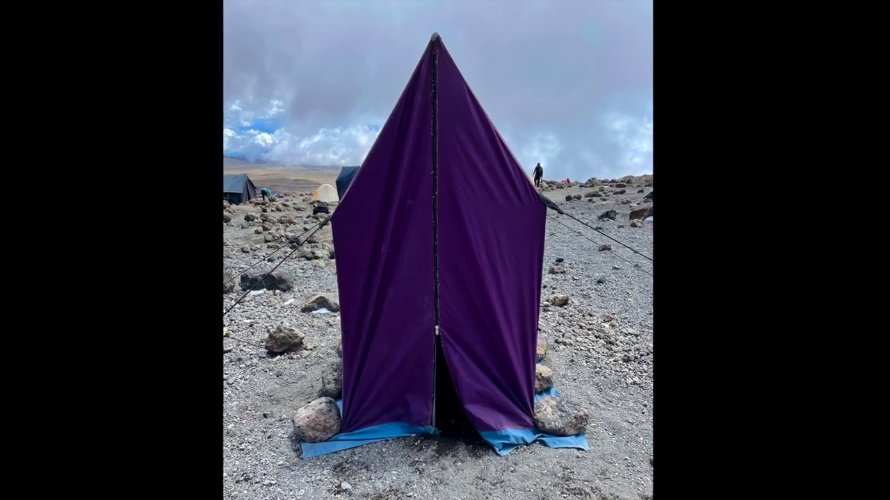
bathroom on mountain kilimanjaro
Bathroom on Mountain Kilimanjaro: What to Expect and How to Prepare Introduction One of the most common — and least discussed — questions from people
Are Guides Readily Available in Tanzania Without Prior Booking?
Are Guides Readily Available in Tanzania Without Prior Booking? Introduction: Should You Risk Climbing Without Pre-Booking? Climbing Mount Kilimanjaro is a dream for many adventurers.
How Can I Find a Reliable Local Guide for My Kilimanjaro Expedition?
How Can I Find a Reliable Local Guide for My Kilimanjaro Expedition? Introduction: Why the Right Guide Is Key to Kilimanjaro Success Climbing Mount Kilimanjaro
Is Climbing Kilimanjaro Dangerous for Individuals Without Mountaineering Experience?
Is Climbing Kilimanjaro Dangerous for Individuals Without Mountaineering Experience? Introduction: The Myth of Danger and Experience Many aspiring adventurers wonder if climbing Mount Kilimanjaro is
