
 21 Sep 2026
 8 min read
A map of Kilimanjaro is more than a picture of the mountain. It shows where each route begins, how trails join or separate, which camps are used, and how the approach affects scenery and acclimatization. Reading that information before booking helps you choose an itinerary that matches your experience, time, comfort preferences, and expectations.
Quick answer: how map of kilimanjaro options compare
The five principal routes considered here are Lemosho, Machame, Northern Circuit, Rongai, and Marangu. They all lead toward the summit area, but they approach Kilimanjaro from different sides and create different trekking experiences.
A Lemosho route map shows a western approach with a gradual transition toward the mountain’s southern circuit. Machame also approaches from the south, while the Northern Circuit travels more extensively around the northern side. Rongai begins in the northeast, and Marangu follows a more direct southeastern approach.
When comparing a kilimanjaro mountains map, focus on five questions:
- Which side of the mountain does the route use?
- Does the itinerary provide a gradual acclimatization pattern?
- What type of scenery and trail variety does it offer?
- Are overnight stays in tents or mountain huts?
- Which compromises are acceptable for your group?
A map cannot decide the route by itself. It should be used alongside a detailed itinerary, the walking schedule, camp locations, safety procedures, and the experience of the guiding company. For impartial route advice and itinerary planning, explore Kilimanjaro route planning before making a final choice.
map of kilimanjaro compared at a glance
| Route | Best fit | Main strength | Key tradeoff |
|---|---|---|---|
| Lemosho | Trekkers seeking a scenic, gradual western approach | Varied landscapes and a progressive route design | Requires accepting a longer, more involved approach |
| Machame | Trekkers wanting a popular southern trail with changing scenery | Strong sense of progression through different mountain environments | Some sections may feel more demanding because of the trail profile |
| Northern Circuit | Trekkers prioritizing a broad mountain circuit | Extensive route experience and time on the quieter northern side | Needs a longer time commitment |
| Rongai | Trekkers interested in a northeastern approach | Distinct starting direction and a different mountain perspective | The approach and descent pattern may suit fewer travel plans |
| Marangu | Trekkers who prefer hut accommodation | Mountain huts rather than tented camps | A more direct route gives less flexibility in the overall approach |
For wider park-access information and a broader look at route geography, see this Mount Kilimanjaro map. A map of the mountain is most useful when it explains relationships between routes rather than simply showing lines on a page.
Compare map of kilimanjaro by the criteria that matter
Fit and use case
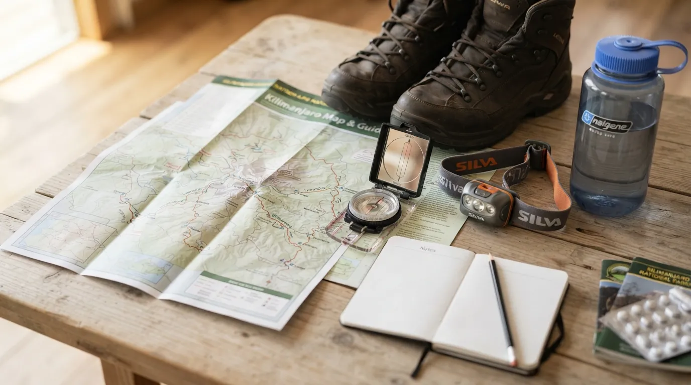
The right route depends first on the kind of trek you want, not on a claim that one route is universally best.
Lemosho is often considered by trekkers who want a western approach with changing scenery and a more gradual sense of entering the mountain environment. A Lemosho route map is useful for understanding how the trail develops before it connects with the higher sections of the southern circuit. It may suit travelers who value landscape variety and a carefully paced expedition.
Machame is a southern approach with a strong trekking identity. It can suit people who want a classic camping expedition and a route that moves through several recognizable mountain zones. When reading a kilimanjaro mountains map, note how the Machame approach differs from the more direct Marangu line and from the wider Northern Circuit.
The Northern Circuit is designed for travelers who want to spend more time exploring the mountain’s northern side. Its broad route shape can appeal to those who value a more extensive circuit rather than a short, direct approach. The tradeoff is the need to plan for a longer expedition.
Rongai approaches from the northeast and gives the climb a different geographical character. It may be suitable for trekkers who specifically want that side of Kilimanjaro or who are comparing a less familiar approach with the better-known southern routes.
Marangu is the route to examine if hut accommodation is a central preference. Its route shape is comparatively direct, so it can appeal to people who want a simpler line on a tanzania map kilimanjaro. However, a direct route should not automatically be interpreted as an easier or better choice; the overall acclimatization pattern still matters.
Value and tradeoffs
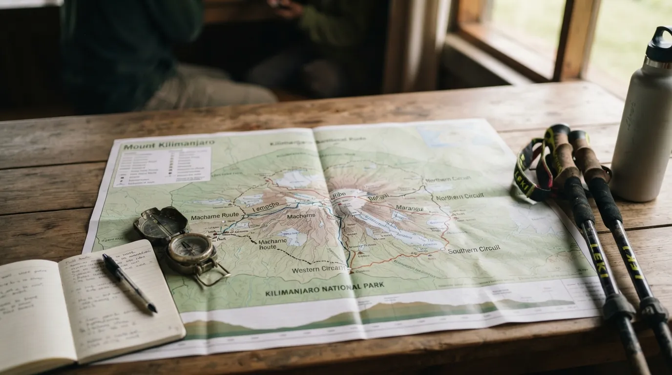
Route value is not simply about choosing the shortest line on a map. It includes the time required, the type of accommodation, the scenery, the amount of route variety, and how well the itinerary supports a steady approach to altitude.
Lemosho and the Northern Circuit may appeal to trekkers willing to invest more time in a broader mountain experience. Their value lies in the route character, landscape variety, and the opportunity to avoid reducing the climb to a rapid approach and summit attempt.
Machame can offer a strong balance for travelers who want a well-known southern route with varied surroundings. Its tradeoff is that route popularity and trail shape may be more important considerations than simply looking at the distance between camps.
Rongai can provide geographical variety for repeat visitors or travelers who want to approach from a different direction. Its value depends on whether that distinct perspective is more important to you than having the same route structure as a southern approach.
Marangu may be valuable to trekkers who prefer mountain huts over tents. That preference can simplify some aspects of camping logistics, but it should be weighed against the route’s more direct structure and the acclimatization plan included in the chosen itinerary.
A useful comparison is to ask: would you rather optimize for accommodation preference, scenery, route breadth, or scheduling flexibility? There is no single answer for every climber.
Limitations and deal-breakers
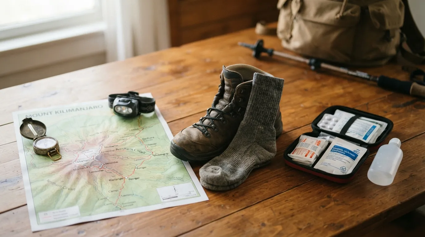
Every route has circumstances in which it may be a poor fit.
Lemosho may not suit travelers with very limited time or those who want the most direct possible approach. If a gradual western route is not compatible with your schedule, examine the itinerary details rather than choosing it based only on its reputation for scenery.
Machame may be unsuitable if your priority is hut accommodation or if you strongly prefer a quieter, less familiar route experience. Review the daily trail profile and camp sequence before committing.
The Northern Circuit may be a deal-breaker for travelers who cannot allocate a longer period to the climb. Its broader shape is a strength for some trekkers but an unnecessary commitment for others.
Rongai may not be the best match if you want the most familiar southern approach or if your travel arrangements favor a different trailhead. The route should be assessed together with transport, descent, and the complete itinerary.
Marangu may be unsuitable for trekkers who want a broad circuit or a more varied camping experience. Its huts are a defining feature, but accommodation alone should not determine the choice.
Across all five routes, the major mistake is treating a map as a guarantee of difficulty, safety, or summit success. Fitness, altitude response, weather, pacing, equipment, guide support, and itinerary design all influence the experience.
Decision rule for map of kilimanjaro
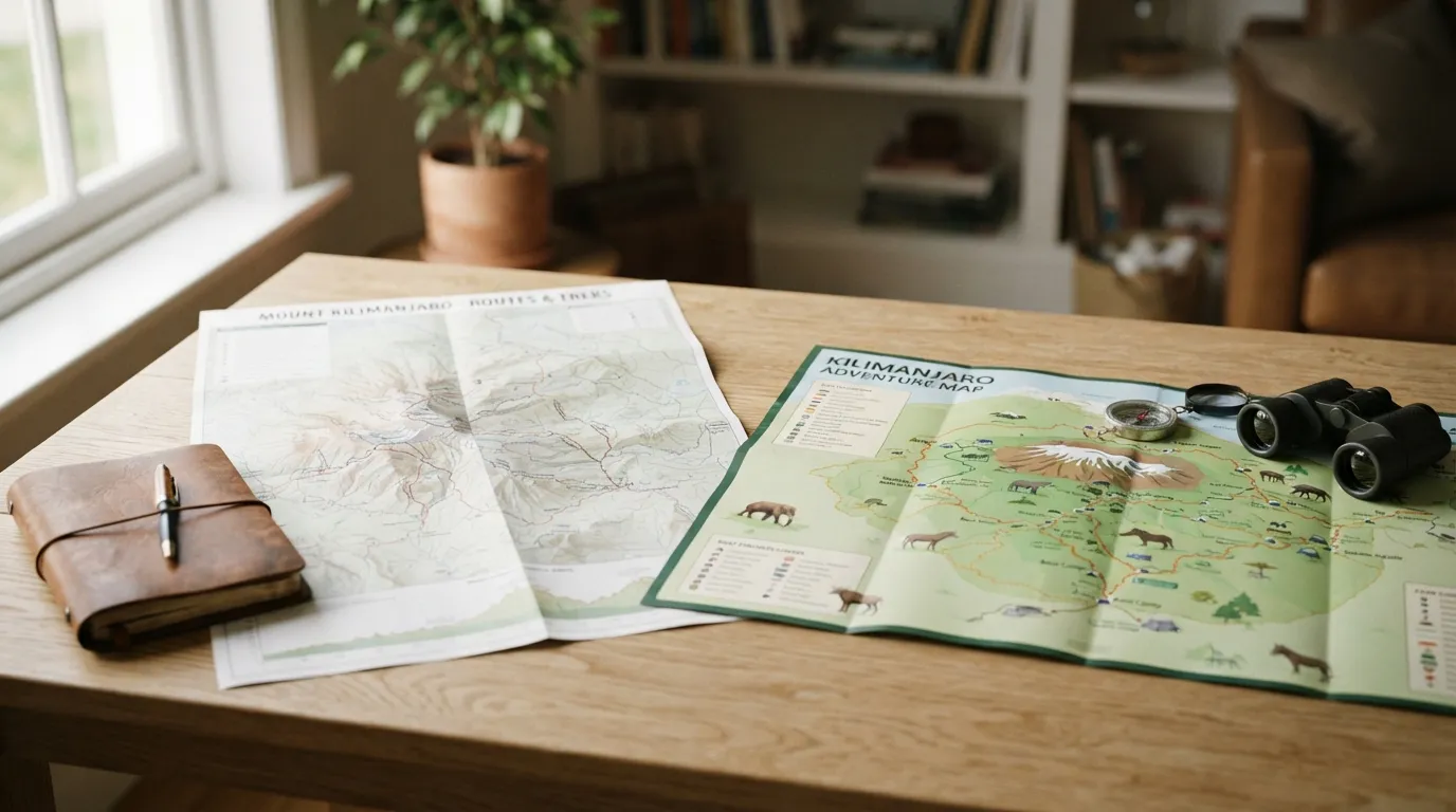
Use this decision rule when comparing routes:
- Choose Lemosho if you want a scenic western approach and can allow a more gradual expedition structure.
- Choose Machame if you want a southern camping route with varied mountain scenery and a clearly progressive trek.
- Choose the Northern Circuit if spending more time on the mountain and seeing its northern side are major priorities.
- Choose Rongai if the northeastern approach is particularly appealing and fits your wider travel arrangements.
- Choose Marangu if hut accommodation is important and you prefer a more direct route pattern.
Then check four practical details before booking:
- The number and location of overnight camps.
- How the itinerary handles sleeping at increasing elevations.
- Whether the route is private or shared with a group.
- What guiding, porter-support, safety, and emergency procedures are included.
The best map of kilimanjaro is therefore a decision tool, not a standalone answer. Once you have narrowed the options, compare preparation requirements and route structures in this guide to climb kilimanjaro.
FAQ about map of kilimanjaro
Where do you sleep when you climb Kilimanjaro?
Most routes use tented camps, while Marangu is known for mountain-hut accommodation. The exact sleeping locations depend on the route and itinerary selected.
How difficult is Kilimanjaro to climb?
Kilimanjaro is a demanding high-altitude trek requiring preparation, steady pacing, and careful acclimatization. Difficulty varies with route design, daily schedule, weather, and individual altitude response.
Do you need oxygen to climb Kilimanjaro?
Supplemental oxygen is not normally treated as a substitute for acclimatization or sound guiding. Any breathing or altitude concern should be assessed by qualified mountain staff and medical professionals.
What should readers know first about map of kilimanjaro?
A route map shows direction, trail relationships, and camp progression, but it does not show every factor affecting the climb. Always read it alongside the full itinerary and safety information.
How do you choose the right map of kilimanjaro approach?
Start with your preferred scenery, accommodation, available time, and tolerance for a longer or more direct route. Then compare the route’s acclimatization pattern and practical logistics.
What mistakes should you avoid with map of kilimanjaro?
Do not choose by apparent distance alone, assume a direct route is easy, or ignore camp progression. Also confirm whether the map represents the complete route rather than only the approach or summit section.
Is map of kilimanjaro worth it for daily use?
A route map is useful during planning and briefing because it helps you understand trail direction, camps, and route changes. It is not a replacement for current guidance from your trek team.
What should you compare before deciding on map of kilimanjaro?
Compare trail direction, camp sequence, accommodation, scenery, route length, acclimatization design, and the level of support provided. Your available time and personal priorities should guide the final decision.
Recommended next steps
Begin with a map that shows all five routes together, then mark the features that matter most to you: western, southern, northern, or northeastern access; tents or huts; broader circuit or direct approach; and the amount of time available.
Next, request or review the complete itinerary rather than relying on a route name. Check daily walking stages, sleeping elevations, camp arrangements, transport to the trailhead, guide support, and procedures for responding to altitude or weather concerns.
Finally, compare the route choice with your preparation level and wider Tanzania travel plans. A kilimanjaro mountains map can narrow the decision, but the right itinerary is the one whose route structure, pacing, accommodation, and support genuinely fit your group.
Sedrick Silayo is a Web Developer and Digital Marketing Expert at Eco-Africa Climbing, with over 10 years of experience in Tanzania’s adventure travel industry. He specializes in Kilimanjaro trekking and Northern Tanzania safaris, sharing practical expertise on trip planning, mountain preparation, safety, KPAP standards, and safari experiences.