
 12 Sep 2026
 11 min read
A Mount Kilimanjaro map is more than a way to locate Africa’s highest mountain. Used properly, it helps you understand where each route begins, how the mountain rises through different landscapes, which airport and town support your trek, and how nearby national parks may fit into a wider Tanzania itinerary.
Whether you search for an africa mt kilimanjaro map, mt kilimanjaro on map, or a tanzania kilimanjaro map, the most useful version is one that connects geography with practical decisions. This guide explains how to read it when comparing routes, planning transfers, and building a realistic climbing schedule.
What mount kilimanjaro map means in practice
Kilimanjaro stands in northern Tanzania, close to the country’s border with Kenya. On a broad Africa map, it is part of the East African mountain region. On a Tanzania map, it sits near the town of Moshi and within reach of major safari destinations such as Arusha National Park, Tarangire National Park, the Ngorongoro Conservation Area, and Serengeti National Park.
A useful Kilimanjaro map should show more than the summit. Look for:
- Kilimanjaro National Park and its boundaries
- The main mountain gates
- The starting points of the Lemosho, Machame, Rongai, Marangu, and Northern Circuit routes
- Moshi and Arusha
- Kilimanjaro International Airport
- Road connections between the airport, towns, mountain gates, and safari areas
- Nearby national parks and conservation areas
- The approximate position of the summit, crater, and surrounding slopes
The mountain has several approaches, but all routes lead toward the upper mountain and summit area. Their differences come from where they begin, which slopes they cross, how they gain elevation, and whether they use different paths for ascent and descent.
For wider geographic context, the Kilimanjaro location guide explains the mountain’s position in Tanzania and its relationship with Moshi, Arusha, and the surrounding region.
A map cannot predict weather, trail conditions, or how an individual will respond to altitude. It can, however, make the structure of a trek easier to understand before you compare itineraries.
How to think about mount kilimanjaro map
Reading a map for a Kilimanjaro climb requires a different approach from looking at a normal road map. Roads usually show distance and travel time. A mountain map must also be read vertically, because elevation gain, acclimatization, terrain, and sleeping locations strongly affect the experience.
A route that looks short horizontally may still involve substantial climbing. Likewise, two routes may approach the same summit from different sides and offer notably different scenery, logistics, and daily walking patterns.
The core problem to understand
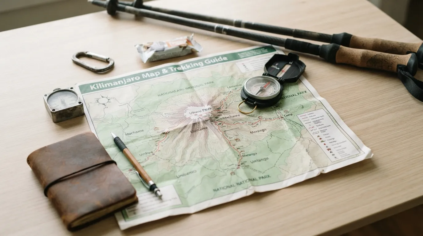
The central problem is that a flat map can make Kilimanjaro look simpler than it is. The mountain may appear as one destination with several lines leading toward the summit, but those lines represent distinct trekking experiences.
The main geographic questions are:
- Where does the route start?
- How quickly does it gain elevation?
- Which landscapes does it cross?
- Where are the camps or overnight stops?
- Does it use the same path for ascent and descent?
- How does its gate affect transfers before and after the trek?
Kilimanjaro’s lower slopes include cultivated and forested areas, while higher sections transition through moorland, alpine desert, and the summit zone. The exact sequence depends on the route and the direction of travel. A map helps you see how the trail crosses these broad ecological zones.
It also helps distinguish route length from route shape. A route may cover more ground while allowing a more gradual approach to higher elevations. Another may reach the upper mountain through a more direct line. The map alone does not decide which is better, but it shows what you need to investigate.
The mountain’s summit area is shared by the routes, but the approach can influence how much of the trek feels like a gradual journey around the mountain or a more direct ascent. This is why an africa mt kilimanjaro map should be read alongside an itinerary rather than treated as a standalone picture.
The practical decision criteria
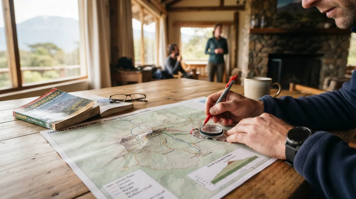
When comparing routes on a tanzania kilimanjaro map, focus on five practical criteria.
1. Starting gate and transfer logistics
Each route begins at a different gate or trailhead area. Your pre-trek accommodation, vehicle transfer, road conditions, and post-trek arrangements may all be connected to that starting point.
Moshi is a common base for Kilimanjaro climbs, while Arusha is another important arrival and safari hub. Kilimanjaro International Airport provides access to the region, and the road journey from the airport to your accommodation or trailhead should be included in your planning.
A map lets you identify whether your arrival plan is geographically sensible. For example, you can check whether your chosen accommodation, airport transfer, mountain gate, and safari destination follow a practical sequence instead of requiring unnecessary backtracking.
2. Route direction and scenery
The route’s position on the mountain influences the landscapes you see. The western and southern approaches differ from the northern and eastern approaches, giving routes their own visual character.
The Lemosho route begins on the western side and is known as a longer approach across the mountain’s western terrain before joining higher sections of the trail. Machame also approaches from the south and is often considered a scenic route with varied terrain.
Rongai begins from the northern side of the mountain, near the Tanzania–Kenya border region. Marangu approaches from the southeast and follows a more direct line toward the upper mountain. The Northern Circuit takes a wider path around the mountain before reaching the summit area.
A mount kilimanjaro map is especially useful here because it shows the relationship between routes that may otherwise sound similar in written descriptions.
3. Acclimatization shape
Altitude planning is not just about the final summit height. It is also about how the itinerary gains elevation, where you sleep, and how much time is available for the body to adjust.
When studying a map, examine the route’s overall shape rather than only its endpoint. A route that traverses more of the mountain may provide a more extended progression through different elevations. A shorter-looking route may have a more concentrated ascent.
The map cannot confirm whether an itinerary is suitable for you, and it cannot replace guidance from a qualified trekking operator or medical professional. It can help you ask better questions about daily elevation changes, overnight locations, rest opportunities, and the structure of the summit schedule.
4. Descent and trail variety
Some routes use different paths for descent, while others return along the same general approach. This affects the amount of scenery you experience and the logistical arrangements at the end of the trek.
Marangu, for example, is commonly understood as an out-and-back approach, while other routes may provide a greater contrast between ascent and descent. The relevant point when reading a map is to trace the full itinerary, not just the line from the gate to the summit.
A route may appear to reach the summit efficiently but offer less geographic variety. Another may involve a broader circuit and more days on the mountain. Your preferred balance between efficiency, scenery, and time should guide the comparison.
5. Connection with a safari itinerary
Many visitors combine a Kilimanjaro climb with a Northern Tanzania safari. A regional map helps you understand how the mountain relates to nearby destinations.
Moshi and Arusha are important reference points for mountain logistics. Tarangire National Park, the Ngorongoro Conservation Area, and Serengeti National Park lie within the wider northern Tanzania travel region, but they are not interchangeable destinations and should not be treated as a single nearby park.
The best order depends on your arrival point, climb dates, available time, and onward travel arrangements. A map can help you identify a logical route through the region, but exact transfer times should be confirmed for the specific itinerary and season.
If you are moving from geographic research to route planning, you can plan a Kilimanjaro climb around your preferred route, timing, and wider Tanzania travel plans.
Common mistakes to avoid
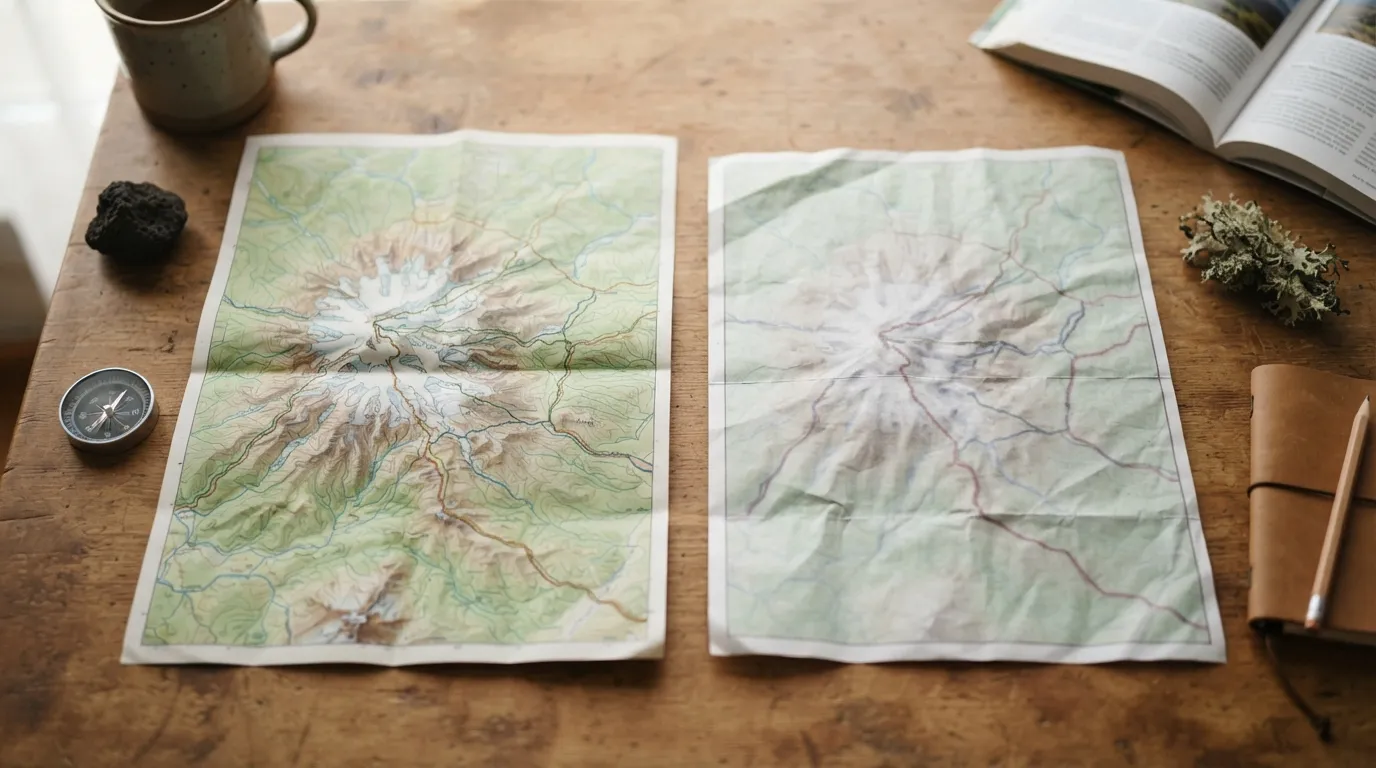
A map is useful only when it is interpreted carefully. These are common mistakes when researching Kilimanjaro routes.
Treating the mountain as a single trail
There is no single generic Kilimanjaro experience. Lemosho, Machame, Rongai, Marangu, and Northern Circuit itineraries differ in their starting locations, terrain, route shape, and typical schedule. Always identify the specific route rather than relying on a broad mountain image.
Measuring only horizontal distance
Straight-line distance does not show elevation gain, trail gradient, terrain, or daily walking demands. A route’s position on a map is only one part of understanding its difficulty and timing.
Ignoring the gates
A route name may be familiar, but the gate determines where the trek begins. Failing to identify the gate can lead to confusion about transfers, accommodation, vehicle access, and the distance from the airport.
Assuming nearby places are next door
Moshi, Arusha, Kilimanjaro International Airport, and the northern safari destinations are connected by road, but a regional map is not a transfer timetable. Confirm driving arrangements rather than estimating them from visual proximity.
Choosing by scenery alone
Scenery matters, but route choice should also consider acclimatization, trekking duration, accommodation style, group preferences, fitness, and the structure of the summit day. A visually appealing route is not automatically the best fit.
Using an outdated or overly simplified map
Some online maps show only the summit and a few route names. Others omit gates, roads, national park boundaries, or nearby towns. Cross-check the map with a current itinerary and information from your trekking operator.
How to apply this to mount kilimanjaro map
The simplest way to use a map is to turn it into a route-planning checklist. Start with the regional view, then move closer to the mountain.
Step 1: Mark your arrival point
Identify whether your journey begins at Kilimanjaro International Airport, another airport, or from a preceding destination in Tanzania or Kenya. Then locate Moshi and Arusha in relation to that arrival point.
Your first question should be practical: where will you stay before the trek, and how will you reach the route’s starting gate?
Step 2: Mark the five main route families
Place the main routes on your map:
- Lemosho on the western side
- Machame on the southern side
- Rongai on the northern side
- Marangu on the southeastern side
- Northern Circuit, which follows a broader path around the mountain
The precise lines vary between map sources and itinerary designs, so use these positions as a planning framework rather than a substitute for a detailed route map.
Step 3: Trace the whole itinerary
Do not stop at the summit marker. Follow the route from the gate through each camp or overnight area and then trace the descent.
Ask:
- Does the route use the same approach on the way down?
- Does it cross several sides of the mountain?
- How many days are allocated to the mountain?
- Where does the summit attempt fit?
- What is the final exit gate?
This makes it easier to compare routes on their complete experience rather than their first impression.
Step 4: Consider elevation as well as position
A topographic map can show contours or elevation bands, while a simple tourist map may not. If elevation information is available, compare how quickly each itinerary moves from the lower slopes toward the summit zone.
Remember that the map is a planning aid, not a personal medical assessment. Fitness, previous altitude experience, health, pacing, weather, and guide decisions all matter.
Step 5: Add national parks and safari destinations
Once the climb is plotted, add the surrounding national parks and conservation areas to your tanzania kilimanjaro map. This helps you consider whether a safari before or after the trek fits your available time and travel direction.
A combined itinerary may include a mountain climb followed by wildlife viewing, or a safari before the climb. The most suitable order depends on your schedule and logistics. Avoid assuming that the closest-looking park is automatically the easiest addition.
Step 6: Check the transfer sequence
Write the travel sequence in order:
- Arrival airport
- Pre-trek accommodation
- Mountain gate
- Trek exit
- Post-trek accommodation or safari destination
- Departure point
This simple list reveals gaps that a map can hide. It also gives you a useful set of questions for an operator, including where transfers begin, whether accommodation is included, and how the route connects with your onward travel.
Step 7: Match the route to your priorities
Use the map to compare priorities rather than searching for a universally best route.
- If you want a broader circuit around the mountain, examine the Northern Circuit.
- If a western approach appeals to you, compare Lemosho with the other route profiles.
- If you prefer a southern approach, compare Machame and its itinerary structure.
- If a northern approach is important, study Rongai.
- If you are considering the southeastern approach, examine Marangu and its full ascent and descent pattern.
The right choice depends on the complete itinerary, not only on the route’s location. A professional operator should be able to explain how the map translates into daily stages, camp locations, transfers, and safety procedures.
FAQ about mount kilimanjaro map
What should readers know first about mount kilimanjaro map?
A mount kilimanjaro map should show the mountain’s gates, main routes, nearby towns, airport access, and surrounding parks. It is most useful when paired with a full itinerary.
How do you choose the right mount kilimanjaro map approach?
Choose a map that matches your planning task: regional maps help with airports and safaris, while detailed route maps help compare gates, camps, elevation, and descent paths.
What mistakes should you avoid with mount kilimanjaro map?
Do not judge a route only by horizontal distance or visual position. Check the route’s gate, elevation profile, daily stages, transfer needs, and full descent plan.
Is mount kilimanjaro map worth it for daily use?
Yes, a detailed map can help you follow the route, understand nearby landmarks, and coordinate transfers. It should support, not replace, instructions from your guides.
What should you compare before deciding on mount kilimanjaro map?
Compare map detail, route coverage, gate locations, elevation information, nearby roads, and national park context. The best map is the one that answers your specific planning questions.
Recommended next steps
Begin with a regional tanzania kilimanjaro map to locate the airport, Moshi, Arusha, mountain gates, and nearby safari areas. Then use a route-specific map to compare Lemosho, Machame, Rongai, Marangu, and Northern Circuit itineraries.
For each route, record the starting gate, approach side, expected route shape, overnight pattern, descent path, and transfer sequence. This creates a clearer comparison than looking only at route names or summit distance.
Finally, use your map questions when discussing an itinerary with a trekking company. Ask how the chosen route affects acclimatization, scenery, camp locations, airport transfers, and any safari plans. With that information, an africa mt kilimanjaro map becomes a practical planning tool rather than simply a location graphic.
Sedrick Silayo is a Web Developer and Digital Marketing Expert at Eco-Africa Climbing, with over 10 years of experience in Tanzania’s adventure travel industry. He specializes in Kilimanjaro trekking and Northern Tanzania safaris, sharing practical expertise on trip planning, mountain preparation, safety, KPAP standards, and safari experiences.