 15 Nov 2026
 6 min read
Mount Kilimanjaro’s elevation is 5,895 meters (19,341 feet) above sea level at Uhuru Peak, its highest point on Kibo. That height helps explain why a climb is more than a long hike: the air thins as you ascend, and the mountain’s terrain and weather change along the way.
Mount Kilimanjaro’s elevation and highest point
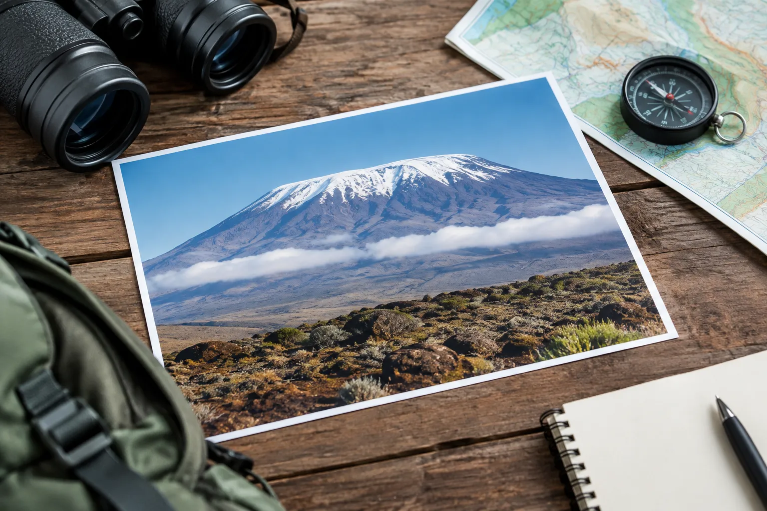
The commonly cited Mount Kilimanjaro elevation is 5,895 meters, or 19,341 feet, above sea level; it refers to Uhuru Peak on the Kibo volcanic cone. That is the summit figure, not the distance a climber ascends from a particular trailhead.
Kilimanjaro is in northern Tanzania, close to the Kenyan border. If you are asking where Kilimanjaro is, it is in Kilimanjaro National Park, in the northeastern part of the country. The park authority describes the mountain’s elevation, peaks, climbing routes, and typical climb duration in its Kilimanjaro National Park guide.
The summit’s height is measured from sea level, the standard reference for elevation. The number does not tell you how far you will walk, how much uphill distance your route includes, or how your body will respond to altitude. Those depend on the route and itinerary, as well as individual factors.
For a broader geographic overview, see our guide to Kilimanjaro climbing tours. A route’s total duration and daily stages matter alongside the summit elevation: TANAPA says climbs commonly take five to eight days, but routes and itineraries differ.

How Kilimanjaro’s three volcanic peaks compare
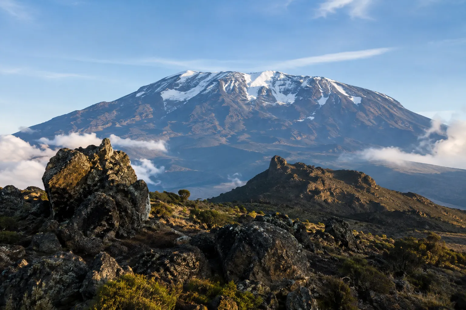
Kilimanjaro has three volcanic cones—Kibo, Mawenzi, and Shira—and Kibo contains the mountain’s highest point, Uhuru Peak. The three peaks are not three summits at the same elevation.
Kibo is the central, highest cone and the one climbers ascend to reach Uhuru Peak. Mawenzi is a distinct, rugged volcanic peak to the east of Kibo. Shira is the lower, older volcanic formation to the west, now shaped into a broad plateau. Their different forms reflect the mountain’s volcanic structure; the summit elevation belongs to Kibo.
This distinction can help make maps and route descriptions easier to understand. A route may cross or pass near parts of the mountain’s broad landscape, but reaching Kilimanjaro’s highest point means reaching Uhuru Peak on Kibo. The name “Kilimanjaro” refers to the whole mountain, not only its summit cone.
When comparing descriptions of Mt. Kilimanjaro, check whether a figure identifies the summit or another peak or feature. The mountain’s highest-point figure is not a general elevation for every part of the massif.
Elevation, prominence, and the climb itself
Elevation is a summit’s height above sea level; prominence describes how distinctly a summit rises above the surrounding terrain; climbing ascent is the uphill gain along a chosen route. These are related ideas, but they are not interchangeable.
The 5,895-meter figure answers one question: how high Uhuru Peak is above sea level. Prominence answers a different geographic question about a peak’s rise relative to nearby high ground. The amount of ascent on a trek depends on where the route starts and the ups and downs it follows.
That difference matters for planning. A climber does not begin at sea level and walk straight up to the summit. Routes start at different access points, and the trip includes trail sections, camps or huts, and changes in elevation along the way. A summit elevation alone cannot tell you the length or difficulty of a particular itinerary.
For a practical comparison of access and route lines, use our Kilimanjaro map and route guide. Look at the full itinerary rather than treating the summit figure as a measure of daily effort.
How altitude and terrain change on the way up
As you climb, Kilimanjaro’s lower forest gives way to more open, exposed terrain and then a high, cold summit environment. The rapid changes in altitude, temperature, and weather make gradual pacing and adaptable clothing relevant to the route.
The mountain rises through different ecological zones. Lower slopes include cultivated land and forest; higher up, the landscape becomes more open, with vegetation thinning toward the alpine desert and summit area. These transitions are part of why one outfit is rarely suitable for every stage of a climb.
Conditions can vary by elevation and time of day. A trekker may start in a relatively warm, humid setting and later face cold, wind, or precipitation. Pack layers that can be added or removed, including protection from rain and wind, warm insulation, and suitable footwear. Check the route operator’s gear list for the specific trip rather than relying on a generic packing list.
Kilimanjaro National Park is a protected area within Tanzania’s wider network of national parks. The mountain’s location and surrounding conservation landscape are shown on the TANAPA national parks map. Staying on the route and following park guidance helps protect the area as well as keep the trek organized.
Altitude brings a separate consideration: the body needs time to adjust as elevation increases. The CDC explains that altitude illness can occur during high-altitude travel and discusses acclimatization and ascent rates in its high-altitude travel guidance. A longer itinerary may allow a more gradual schedule, but no itinerary guarantees that a person will avoid altitude illness.
Use Kilimanjaro’s elevation to plan your climb
Use the summit elevation as a reminder to plan for altitude, not as a stand-alone measure of difficulty. Compare route length, itinerary, daily elevation changes, and rest time before choosing a climb.
A route choice is also a choice about how your days are arranged. TANAPA gives a typical climb duration of five to eight days; the right itinerary for you depends on the route and the time you can set aside. Ask for the day-by-day plan, including where each day starts and ends, the highest sleeping elevation, and how the itinerary handles gradual ascent.
For first-time climbers traveling from near sea level, leave room in the overall trip schedule for arrival, sleep, and getting organized before the climb. A flight itinerary can include long travel and connections, so check baggage transfer details with the airline and allow enough time to reach your starting point without rushing. Build training around sustained walking and uphill effort, and practice with the footwear and daypack you expect to use.
When comparing trip costs, look beyond the headline figure. Ask what the quoted amount includes and what you should budget separately for flights, personal gear, tips, and other trip expenses. Do not assume that a lower price or a longer itinerary tells the whole story; compare the actual services, route schedule, and support described by each operator.
The sleeping arrangement depends on the route. TANAPA’s visitor guide to park access and arrangements covers visitor information, including route and accommodation arrangements. Confirm whether your chosen itinerary uses camps or huts, what is included, and what gear you need to bring.
Altitude is not a reason to treat every route as unsuitable, but it is a reason to take preparation and route planning seriously. Discuss relevant health concerns with a qualified medical professional before travel, especially if you have a condition or take medication that may affect your plans.
Kilimanjaro Elevation FAQ
Why is Kilimanjaro hard to climb?
Kilimanjaro is challenging because the route climbs to 5,895 meters, where thinner air, long walking days, cold, and changing weather can affect the effort. Gradual pacing helps with acclimatization but cannot guarantee how you will feel.
Can you tell me about Mount Kilimanjaro for kids?
Mount Kilimanjaro is a high volcanic mountain in Tanzania, and Uhuru Peak is its highest point at 5,895 meters. Children’s access to higher elevations is subject to park regulations, so check current rules with the park authority before planning.
Where is Mount Kilimanjaro located?
Mount Kilimanjaro is in northeastern Tanzania, near the border with Kenya, within Kilimanjaro National Park. Its position is shown on the [Tanzania national parks map] (https://www.tanzaniaparks.go.tz/uploads/publications/en-1730196282-celebrityNewsmagazine00.pdf).
Where do you sleep when you climb Kilimanjaro?
You sleep at designated camps or huts, depending on the route and its arrangements. Check the itinerary to confirm the accommodation type and what equipment or bedding you need.
Recommended next steps
- Confirm the summit elevation and identify Uhuru Peak on Kibo when comparing route maps.
- Compare each itinerary’s total duration, daily stages, and sleeping arrangements before choosing a route.
- Check the park authority’s visitor guidance and current climbing rules for access and requirements.
- Set aside time for arrival, sleep, and organizing your gear before the climb begins.
- Review health questions with a qualified medical professional and ask your operator how the itinerary handles altitude and daily support.